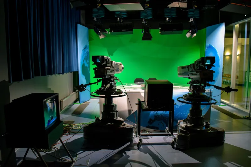
Your Local Station's Weather Tools Are Smarter Than You Think — Here's Why
Every smartphone owner has a weather app. Probably two or three of them, honestly. You've got the one that came pre-loaded, maybe a national brand you downloaded after the factory default let you down, and possibly the app tied to your local TV station that you half-forgot was even installed. Here's the thing, though: that last one? It's almost certainly the best of the bunch — and most viewers have no idea why.
Sinclair-owned local stations have quietly built out a weather infrastructure that punches well above its weight class. Let's break down exactly what's happening behind the scenes, and why it actually matters the next time a tornado watch pops up or a nor'easter starts tracking toward your county.
The National App Problem Nobody Talks About
Before getting into what Sinclair stations do differently, it's worth understanding the core limitation of big national weather platforms. Apps like The Weather Channel or Weather.com aggregate data from a network of sources — government sensors, weather balloons, satellite feeds — and run it through automated models designed to work reasonably well across the entire continental United States. That's an enormous geographic mandate.
The tradeoff is resolution. When a storm system is moving through, a national model might update every hour or so and deliver forecasts calibrated to a broad geographic zone. If you live in a valley that tends to get hit harder than the ridge two miles north, a national algorithm almost certainly isn't capturing that nuance. It doesn't know your neighborhood. It can't.
Local meteorologists, on the other hand, do know your neighborhood — often intimately.
What "Hyperlocal" Actually Means in Practice
The term gets thrown around a lot in broadcasting, but in the context of weather, hyperlocal has a specific and meaningful definition. Sinclair stations typically maintain their own dedicated meteorology teams staffed by degreed meteorologists who are embedded in the communities they serve. Many have worked in the same market for years, sometimes decades.
That long-term local knowledge feeds directly into forecast accuracy. A veteran meteorologist at a Sinclair station in the Midwest understands, for example, how lake-effect snow behaves differently in the southern end of their coverage area versus the northern suburbs. They've watched the same storm patterns repeat across years. That pattern recognition doesn't live in a database — it lives in the forecaster's head, and it gets applied every time they issue a local alert.
Beyond the human element, Sinclair stations invest in their own localized data collection. Many operate networks of ground-level weather sensors positioned throughout their coverage footprint, feeding real-time temperature, wind speed, and precipitation data directly into the station's systems. That data layer sits on top of the National Weather Service feeds and radar information, giving local forecasters a more granular picture than any national app can replicate.
The Technology Stack Running Underneath Your Radar Screen
If you've ever pulled up your local Sinclair station's weather app and wondered why the radar feels snappier or more detailed than what you see on a generic weather platform, there's a real technical explanation for it.
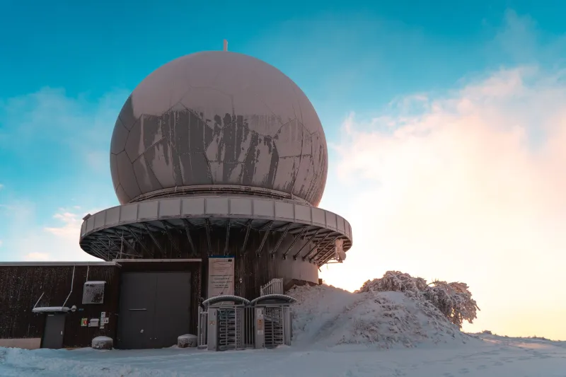
Most Sinclair stations have integrated high-resolution Doppler radar access — either through their own tower infrastructure or through cooperative agreements with nearby NWS installations — combined with proprietary software that allows meteorologists to layer multiple data streams simultaneously. We're talking dual-polarization radar returns, storm-relative velocity maps, and mesoscale analysis tools that let a forecaster pinpoint rotation signatures or hail cores with much finer precision than a consumer app's simplified radar overlay.
The apps themselves are typically built on platforms that allow for push notifications tied directly to the station's own warning polygons, not just NWS county-wide alerts. That distinction matters more than most viewers realize. A county-wide tornado warning might cover 800 square miles, but your local Sinclair meteorologist may be able to see from the radar data that the actual threat corridor is tracking through a specific set of zip codes. When the station app sends a push alert, it can be targeted to that tighter geography — meaning fewer false alarms for people outside the threat zone and faster, more specific warnings for those inside it.
Getting the Most Out of Your Station's Weather Tools
Knowing the capability exists is one thing. Actually using it well is another. Here are a few practical ways to make sure you're getting full value out of your local Sinclair station's weather resources:
Enable location-specific push notifications. Most local station weather apps allow you to set multiple location pins — your home, your workplace, your kids' school. Make sure those are configured before severe weather season hits, not during it.
Check the station app before the national one. During active weather events, your local meteorologist is actively updating the forecast in real time. The national platforms are mostly running automated model outputs. The difference in timeliness can be significant when conditions are changing fast.
Watch the live streams during severe weather. Sinclair stations typically run extended live coverage during tornado warnings, flooding events, and major winter storms. The on-air meteorologist is tracking the radar in real time and communicating things the app can't — like which intersection a storm is approaching or how fast a front is accelerating. That live context is irreplaceable.
Follow the station's social accounts. Many Sinclair station meteorologists are active on social media during weather events, posting radar screenshots and quick video updates between on-air hits. It's an underrated real-time resource that bridges the gap between scheduled newscasts.
Sign up for text alerts if the station offers them. Some Sinclair markets offer SMS-based weather alert programs separate from the app. These can be useful as a backup notification layer when you don't want to rely solely on push notifications, which can occasionally be delayed depending on your phone's battery optimization settings.
Why This Matters More Than Ever
Climate patterns across the US have been delivering more frequent and more intense severe weather events over the past decade. The window between a storm forming and it becoming a life-threatening situation has, in some cases, gotten shorter. In that environment, the gap between a hyperlocal weather tool and a generic national app isn't just a matter of convenience — it can be a meaningful safety difference.
Sinclair stations have made consistent investments in their meteorology teams and weather technology precisely because local weather coverage remains one of the clearest value propositions that a local TV station can offer in the streaming era. It's genuinely hard to replicate from a national platform, and viewers who lean into what their local station's weather tools can do are getting something that no subscription service or app store download can fully match.
So next time you're staring at a darkening sky and reaching for your phone, maybe start with the app you've been ignoring. It might surprise you.